The Newberry has recently completed the digitization of over 750 maps printed in Italy during the sixteenth and seventeenth centuries. The Franco Novacco Map Collection, one of the strongest of its kind in the world, reflects Europeans’ evolving conceptions of the world during a time of widespread exploration and colonization.
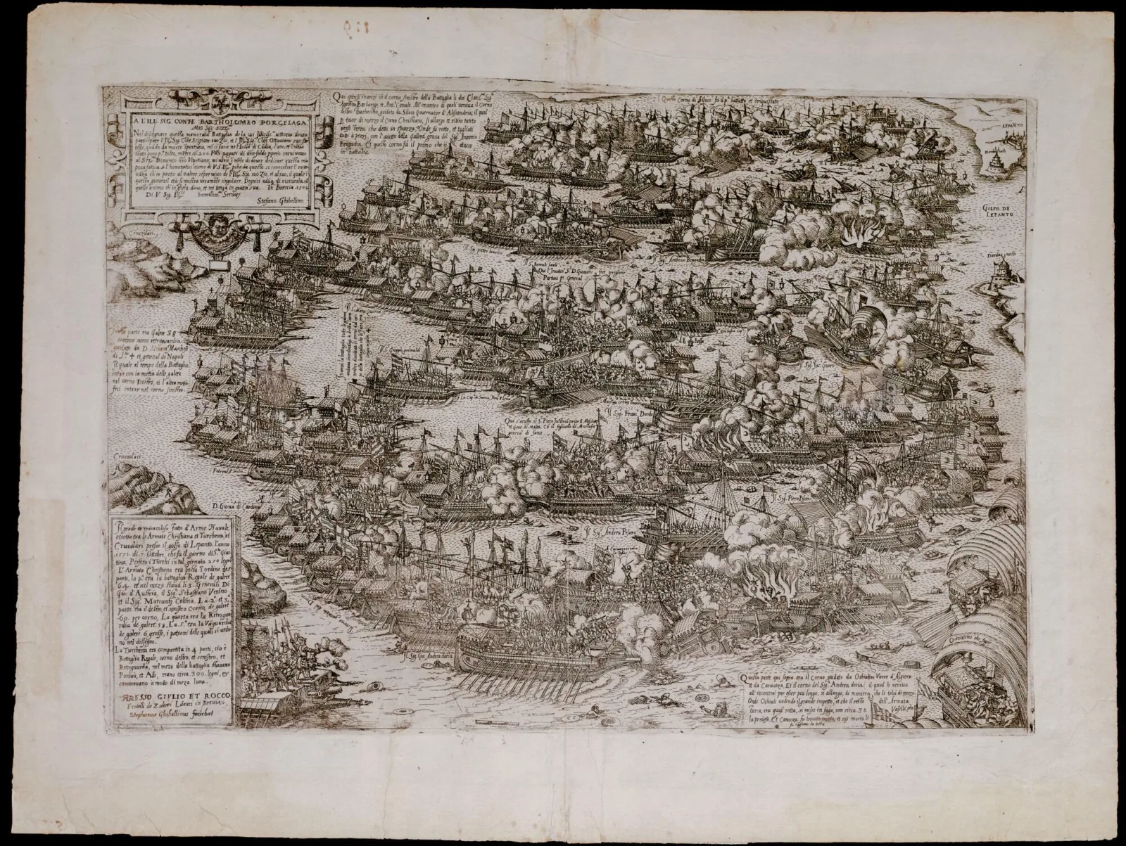
Many of the maps in the Novacco collection feature battle scenes, such as Il Grande et miracoloso fatto d'arme navale... a black-and-white map portraying the Battle of Lepanto, created by Stephanus Ghebellinus in 1572.
 Il Grande et miracoloso fatto d'arme navale... Stephanus Ghebellinus, 1572. Call number: Novacco 4F 109 (PrCt)
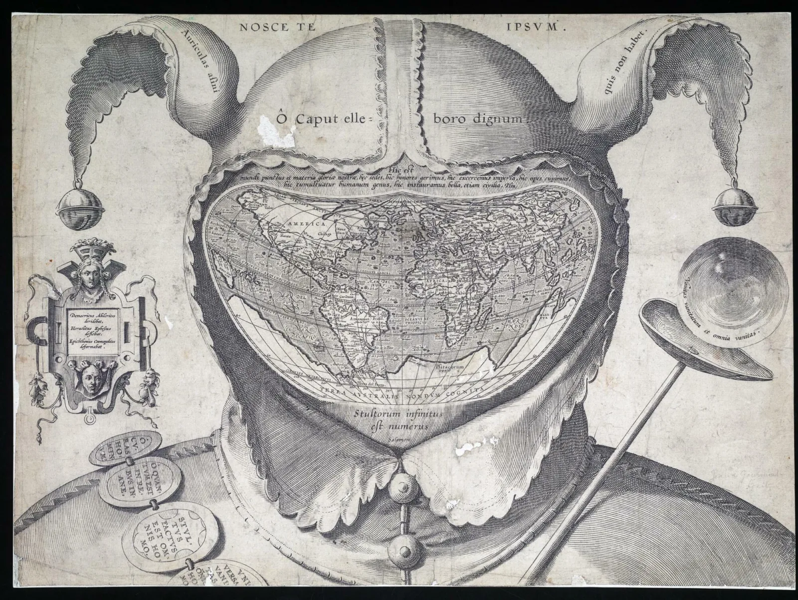
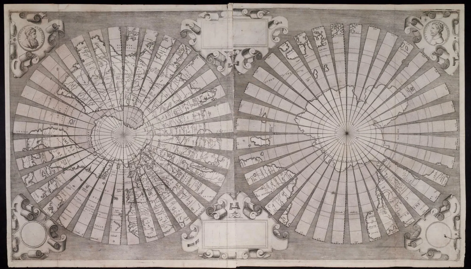
A large portion of the collection includes world maps of all sizes, ranging from functional to more experimental. One 1590 cordiform map, for example, places the heart-shaped world inside of a fool's cap, resulting in an unsettling visual commentary on previous conceptions of world geography. A 1555 map, alternatively, presents the world in gores, or segmented parts, which can be cut out and pasted onto a sphere to create a globe. This blend of art, science, and history is at the heart of the Franco Novacco Collection.
 Cordiform world map within fool’s cap. 1590. Call number: Novacco 2F 6 (PrCt)
“Whether you want to wander through marveling at sea monsters or compare intricate differences in representations of Rome, the Novacco Collection has something for you,” David Weimer, Robert A. Holland Curator of Maps and Director of the Hermon Dunlap Smith Center for the History of Cartography, emphasized. “These maps illustrate the startling breadth of scientific and artistic practice in Early Modern Europe.”
The Newberry Library acquired the Novacco Collection from the Venetian map collector Franco Novacco himself in 1967. Since then, the maps have only been available for viewing on-site in the Newberry’s reading rooms. In early 2022, the Newberry received generous funding from Mr. Rudy L. Ruggles, Jr. and Barry Lawrence Ruderman Antique Maps to begin digitizing the entirety of the collection.
 World map in gores, Antonius Florianus, 1555. Call number: Novacco 4F 46 (PrCt)
Using special cameras and lenses designed for flat art photography, image technicians from the Newberry and The Digital Archive Group created high-definition images that will enable researchers around the world to study these maps in staggering detail. The Newberry Digital Initiatives and Services team then organized the digital assets, adding descriptions and metadata to improve searchability and ease of access.
With growing digitization technology and newly fortified digital asset management systems, this project plays a role in the Newberry’s larger goal to increase the accessibility of its collections, making it possible for anyone around the world to view renowned archival documents.
"Although the Newberry holds one of the world's premiere map collections, this format has been significantly underrepresented in our digital library, since we lack facilities for oversize digitization," said Jen Wolfe, Digital Scholarship and Outreach Librarian. "The Novacco digital collection allows us to start to fill in that gap and open up more of the Newberry’s cartographic materials to a global audience."
The Novacco Collection has been fully digitized and is now available as part of the Newberry’s growing, free Digital Collections, with high-resolution files available for public re-use. The maps may be of particular interest to scholars of map history, geographers and cartographers, art historians, and map enthusiasts.
ABOUT THE AUTHOR
Lili Pangborn is Communications Coordinator at the Newberry.